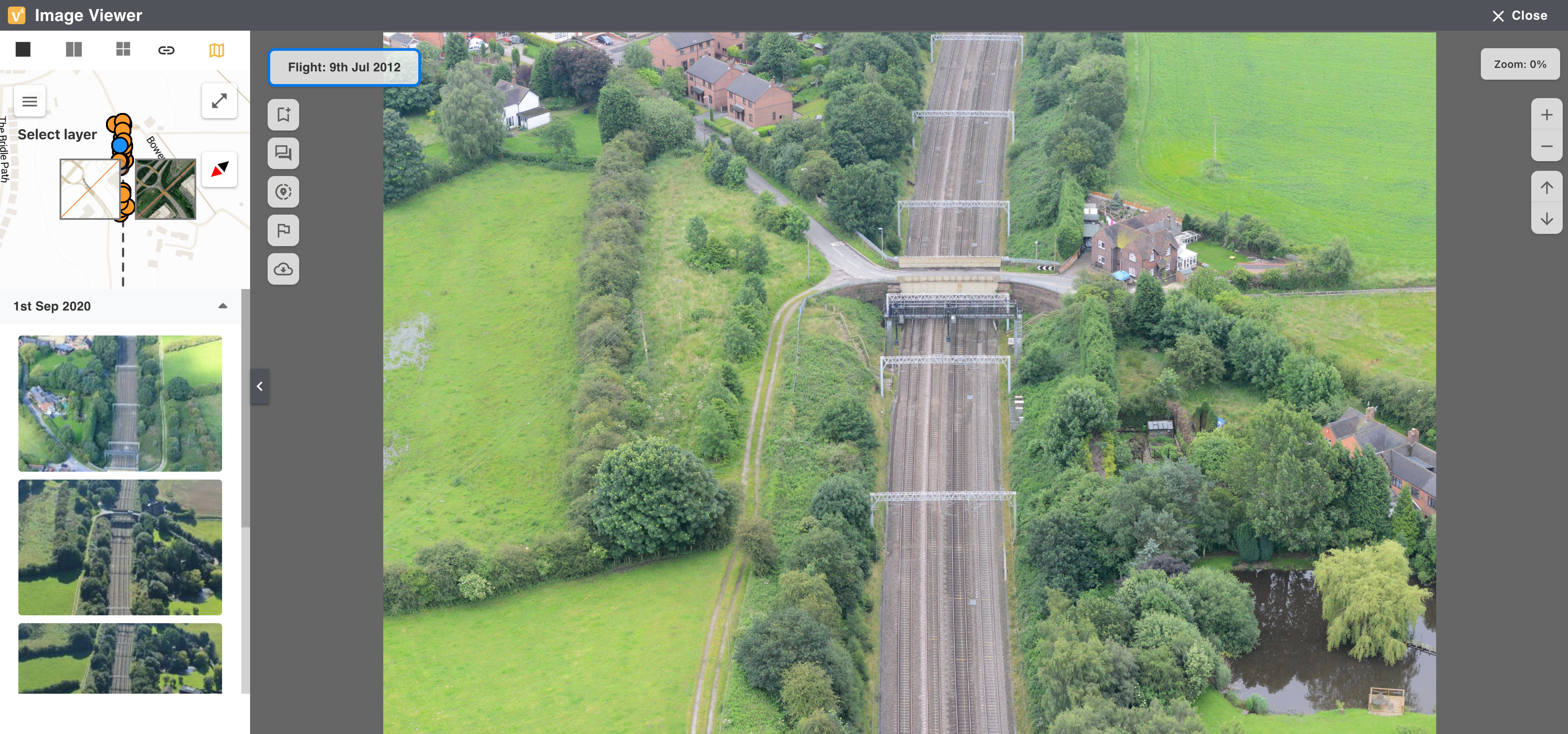
The Image Viewer window allows you to view and analyse the selected image. This full resolution image can be zoomed in and out allowing you to view more detail, access points and areas of interest.
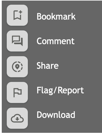
There is a Menu lis which allows you to Bookmark, Comment, Share, Flag/Report or Download the image:
The far left hand side of Image Viewer gives you more options, it includes a Map View and a list of all the Flights that have covered that particular location, see below for more details:
|
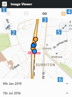
1️⃣ |
Select the number of images to view (one or two) |
|
2️⃣ |
Select your chosen Map Layer |
|
3️⃣ |
Link these images, so that when you scroll through them, all images in the two grid scroll as well, see below. |
|
4️⃣ |
Show/Hide Map |
|
5️⃣ |
Enlarge/Shrink Map |
|
6️⃣ |
List of Dates/Flights at the selected location |
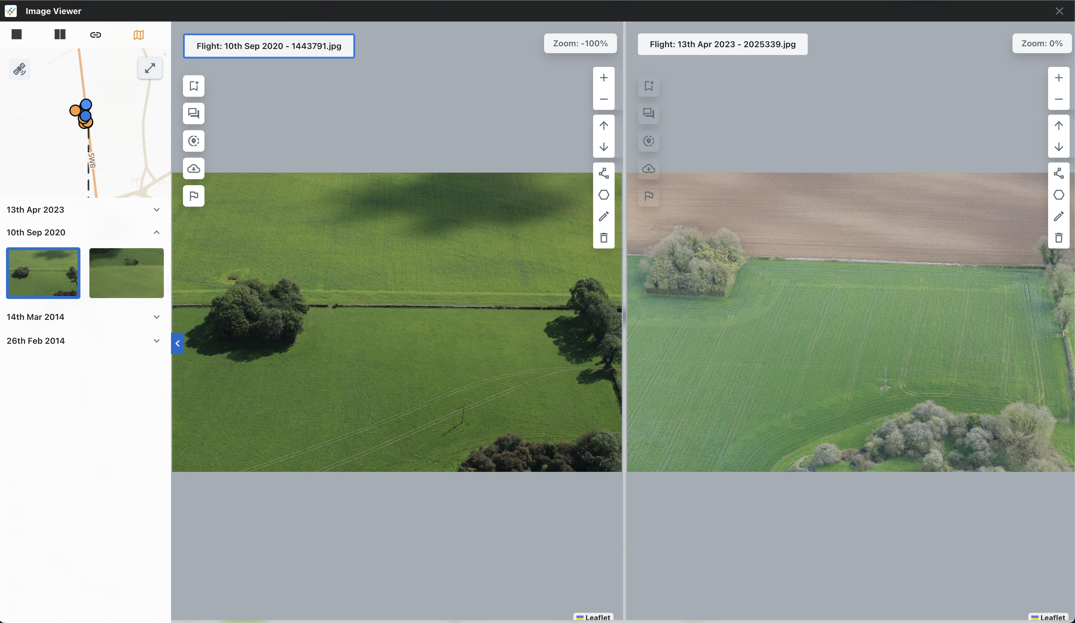
When selecting the two or four windows, you can Compare Images to assess changes to the location, see below, this is the same bridge on different dates and different times of the year. Clicking on the Link Images (No 3 above) allows you to scroll through all of the images at the same time, allowing you to assess each point at different times.
Press Close to return to the Map View.