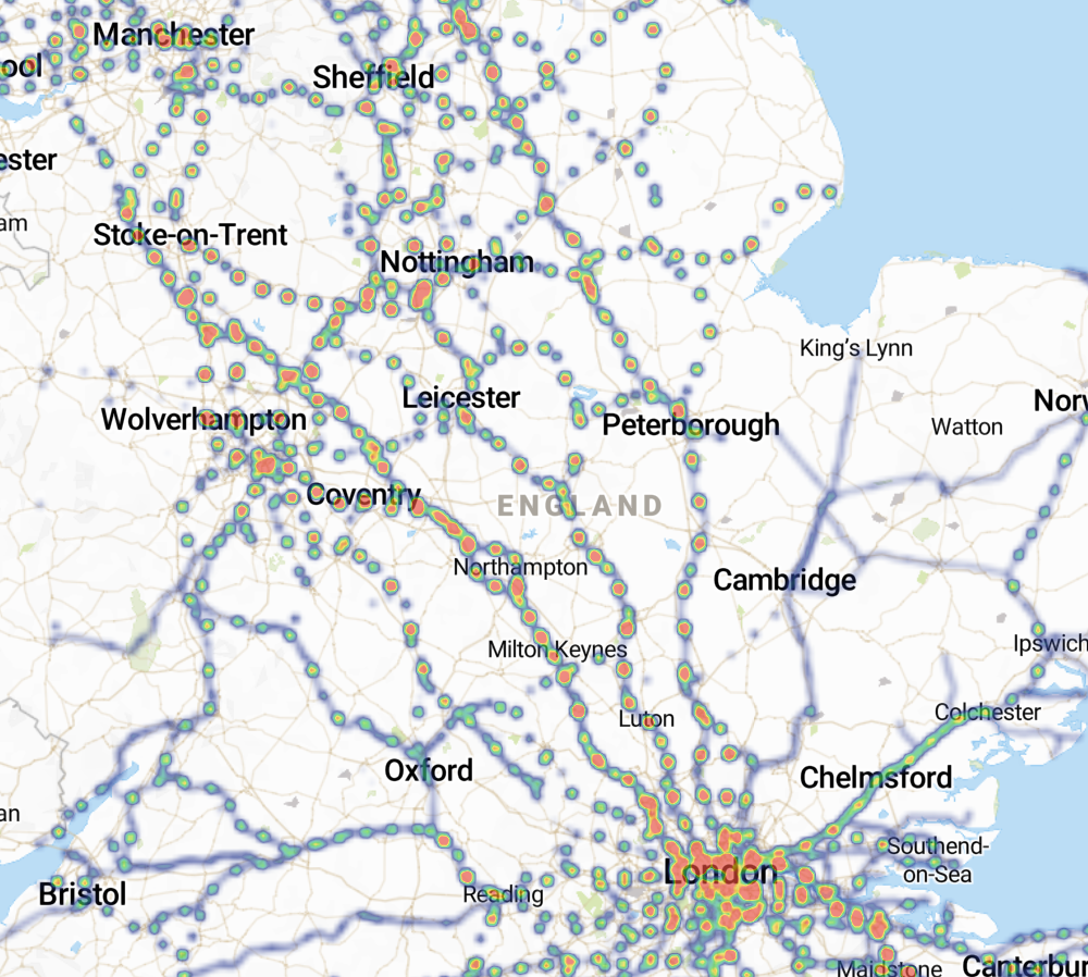
The first time you use Visivi, you will be presented with a map of the entire UK, with a heatmap of your Companies assets visible.
There are various tools and menus are arranged around the screen, as follows:
Navigating the Visivi Application
The following takes you through the basics of getting around the screen and opening images. More detailed explanations follow below:
The Home Menu contains some general commands and tools. You can log out from this menu, and find
your Favourite images.
The Home Menu
Finding the right image
We have tried to make it as easy as possible to find the most suitable image you need to take a look at.
The Search functions allow you to look for images by location, image name, and comments:
The Filter Tool helps to reduce the number of images presented to you based on a date range. As the image database grows over time, you will find that an area may be covered by multiple images. Sometimes you just want to see the most recent image – the Filter Tool is what you need for this:
Using the Images
Once you have found the image you are interested in, what can you do with it? The following topics take you through what’s currently possible.
Clicking on the image dot on the map will open the image in the Image Card. This is a small representation of the image but you can use it to drill down into a full resolution version of your required image:
Some images are collected with standard cameras (SLRs, iPhone etc.) and contain just the basic positional information. Others have additional geo-referencing information added which allows you to measure coordinates, distances and areas on the image, and not just on the mapping. You can also find information about a map or image location by using the Menu Toolbars:
If you wish to compare two images from different dates or different camera angles, use the Image Viewer window tool:
Using the Mapping
Visivi is all about the images, but has some mapping tools too which are primarily there to make it easy to put the images into context, but can also be useful in their own right. Visivi is not a replacement for any corporate GIS system you may have, but its simplified interface and easy access to basic tools sometimes makes it a good option to view your mapping data.
Troubleshooting and Support
If you need more help on using the system please send a request to support@visivi.com.
If you are having performance issues, click the link to find more information of how you can troubleshoot these.